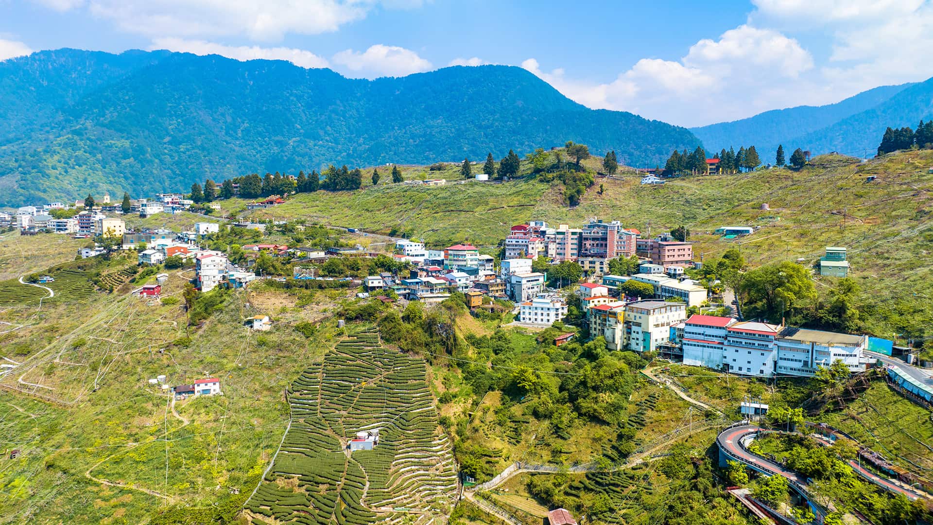
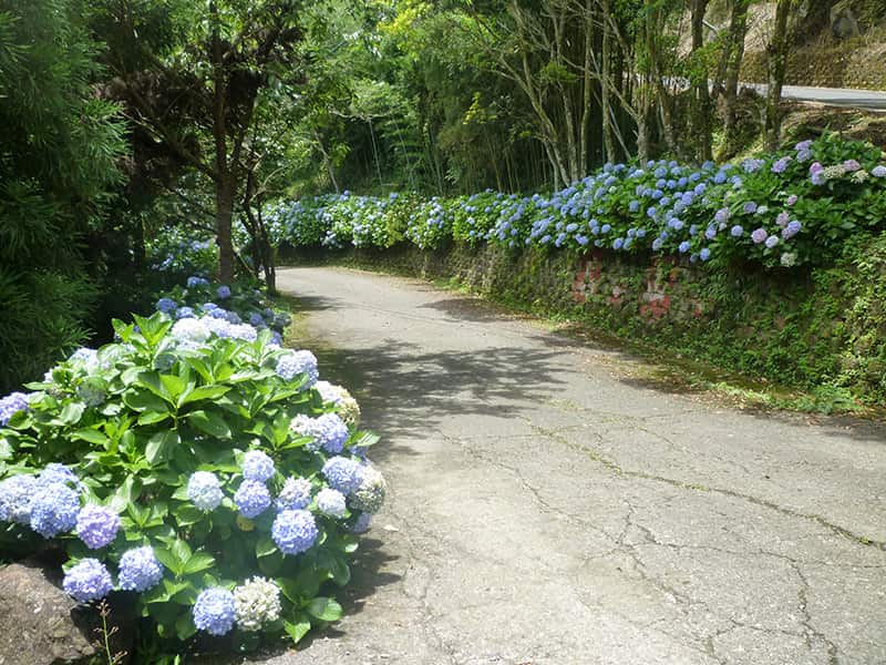
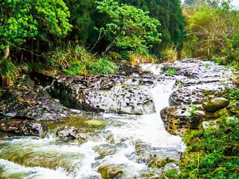
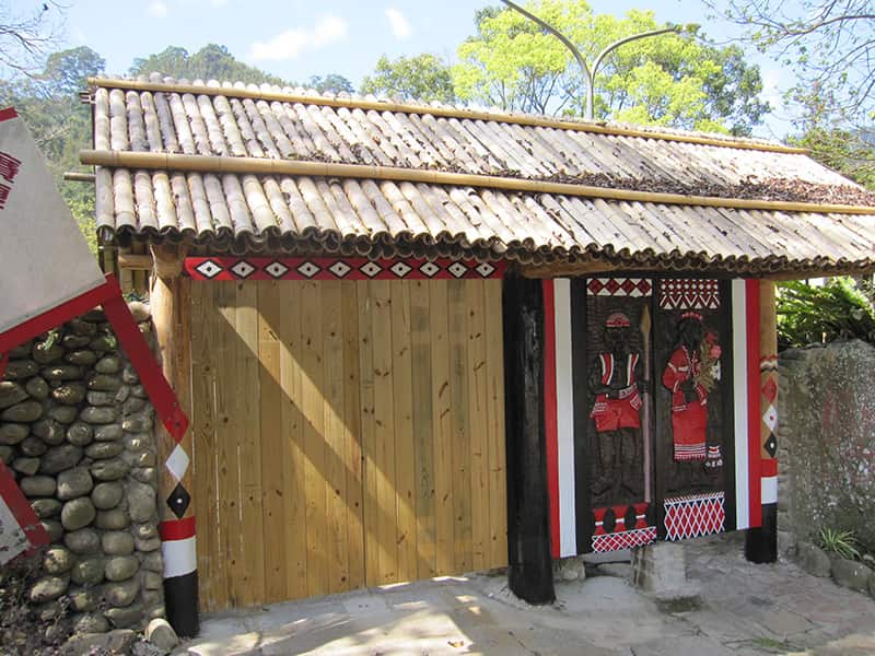
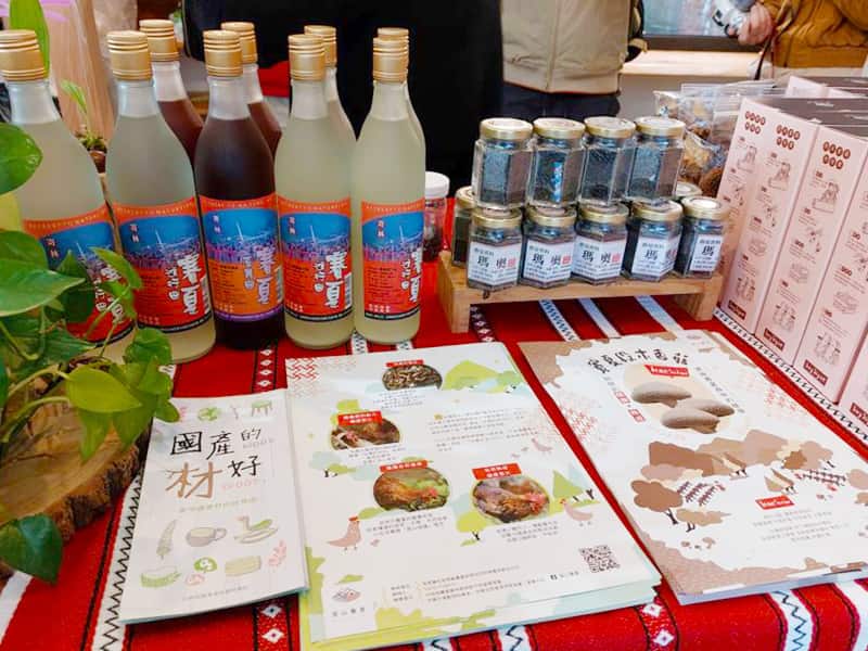
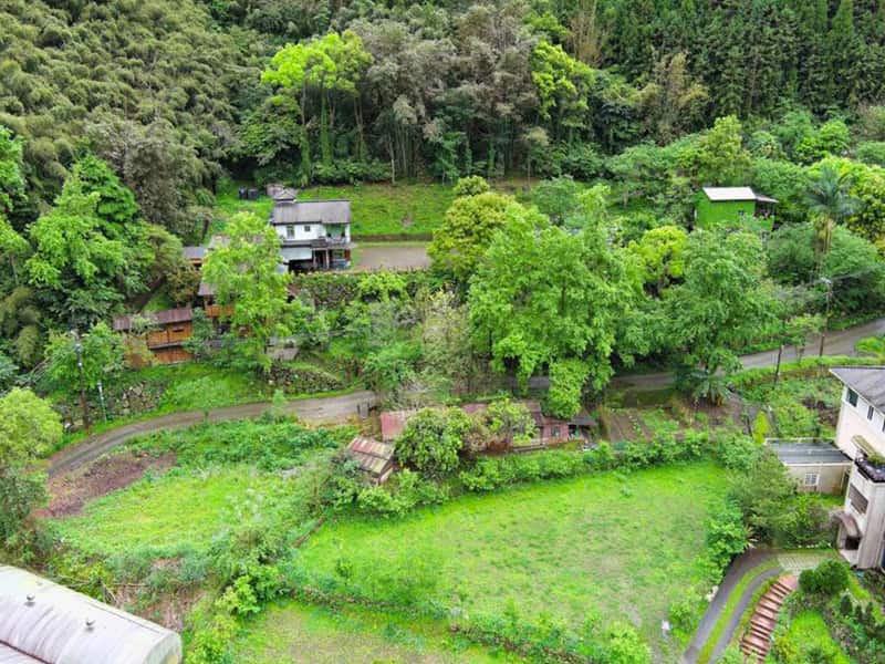
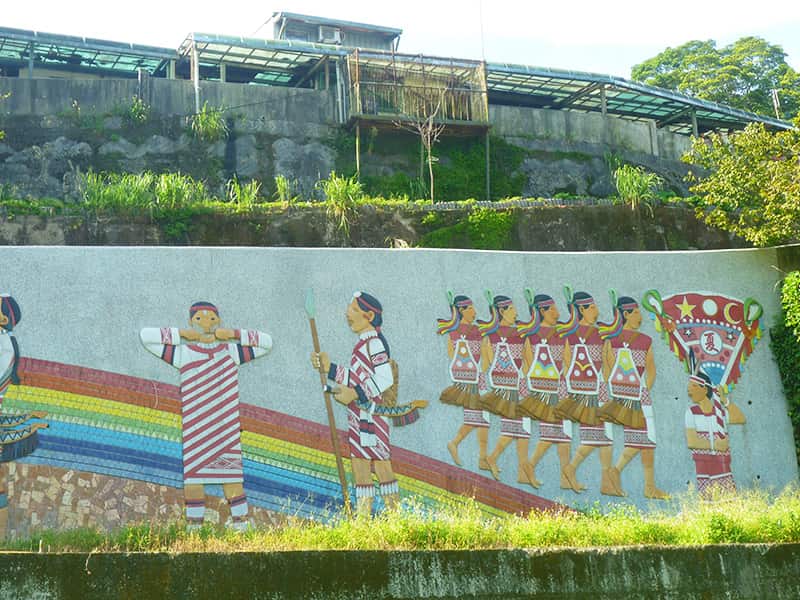
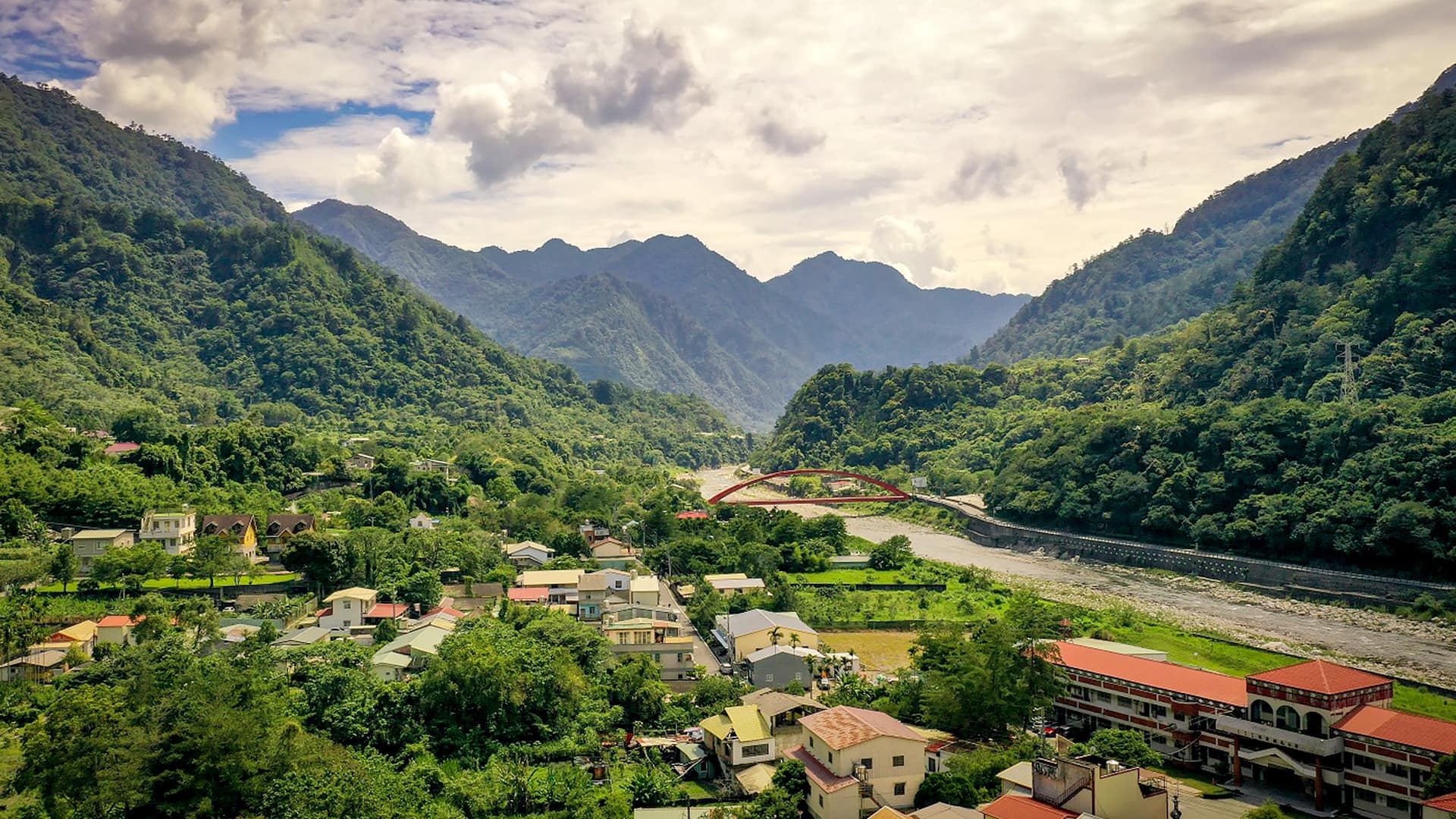
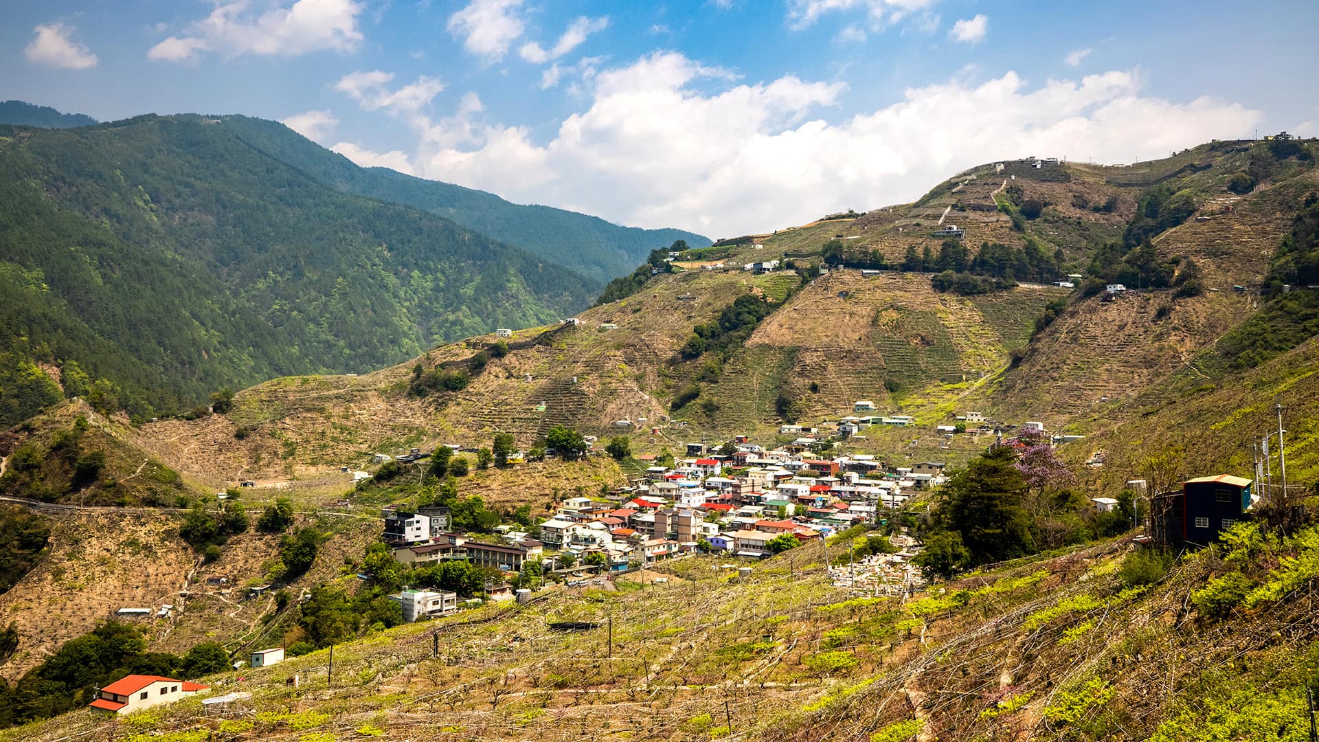
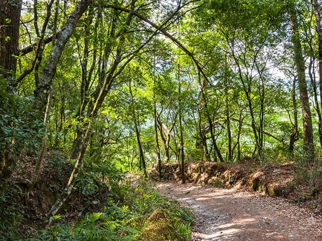
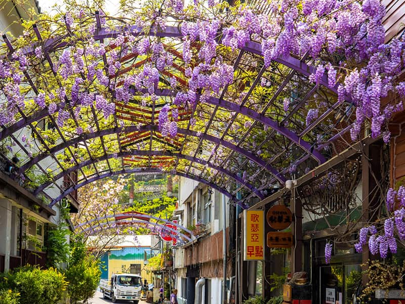
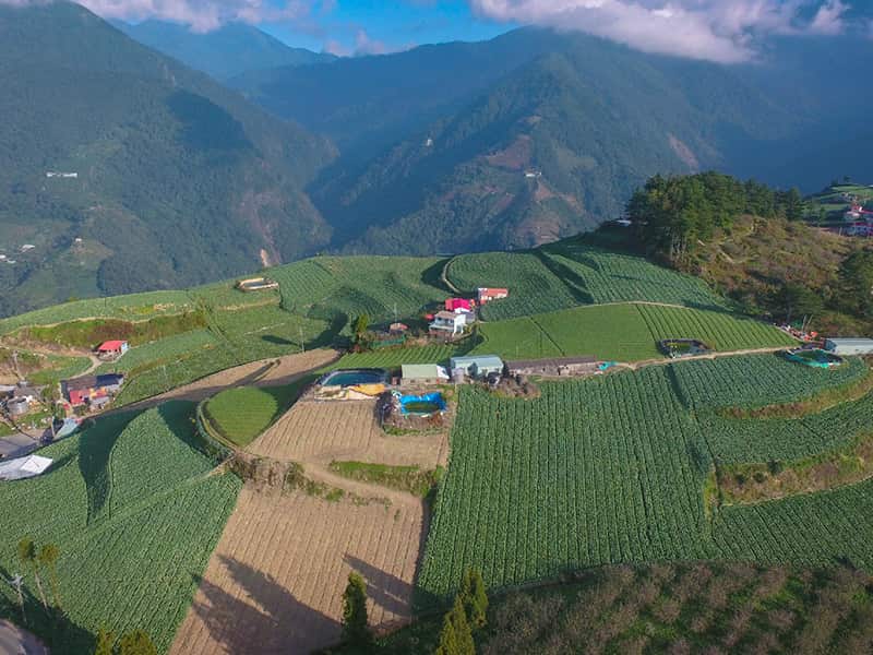
Scenery of mountain villages
Indigenous Tourism
Let’s embark on a comprehensive journey through the tribe and rediscover our mountains and forests by tracing the hunting trails of tribal people and legends narrated by esteemed elders.
Tribal villages in Nanzhuang
Nanzhuang possesses the cultural heritage of both Hakka and indigenous peoples
Let’s walk into Nanzhuang to experience the beauty of Saisiyat and Atayal culture
About the tribes in Nanzhuang
Nanzhuang is situated in the upper reaches of the Zhonggang River basin in Miaoli County. Its residents are primarily Hakka people, followed by indigenous people (Saisiyat and Atayal), Hokkien people, and new immigrants, showcasing a diverse and unique cultural and historical landscape. Fueled by the thriving growth of Nanzhuang's tourism industry, tourism activities centered around indigenous tribes have also drawn visitors from many places.
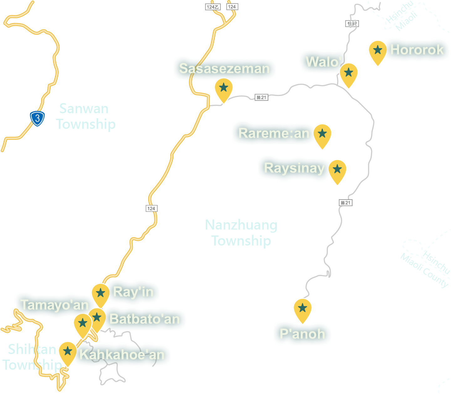
Walk into Rareme:an Tribe
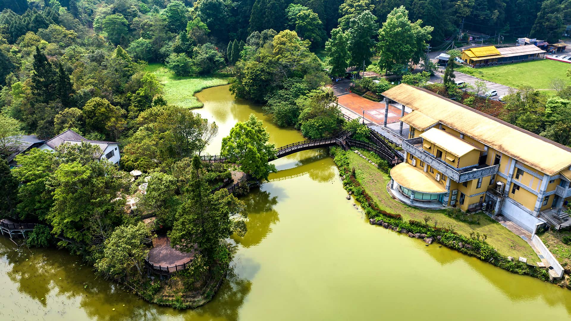
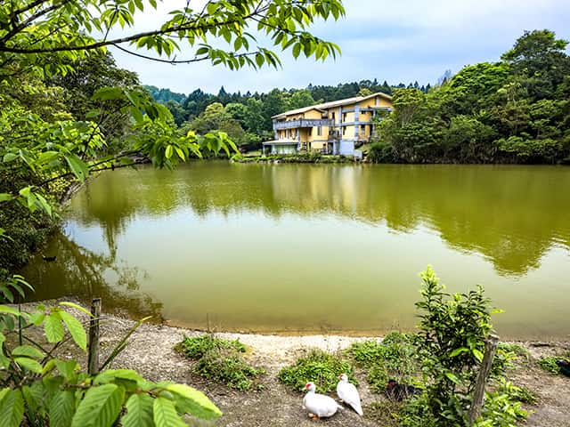
1. Xiangtianhu, which literally means "Xiangtian Lake," is called "Rareme:an" in Saisiyat, which translates to "a land covered with dye trees." During the Japanese colonial period, Japanese settlers discovered a nearby stream, which facilitated the cultivation of rice in this area. Since this land is surrounded on three sides by mountains, Han people who later entered this area named it “Yangtian Lake” (literally meaning “Gaze-Up-at-the-Sky Lake”). Later, when the National Government of the Republic of China settled in Taiwan, this place was renamed “Xiangtian Lake” (literally meaning “Toward-the-Sky Lake”).
Highlights of Tribal Tourism
- Walk on the circular lake trail to relish the mist-shrouded Xiangtian Lake.
- Enjoy local delicacies and drinks at the Rareme:an Tribe Market on weekends.
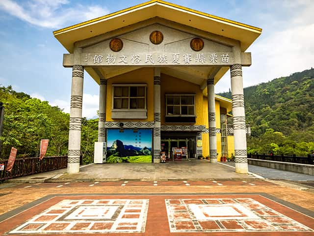
- Learn about paSta'ay and Saisiyat culture at the Museum of Saisiyat Folklore
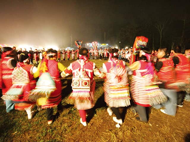
- The Saisiyat people hold the PaSta'ay (known as “Pas-ta'ai” in Saisiyat), commonly known as the Saisiyat Ritual of the Short People, at Xiangtian Lake. Visitors are recommended to experience this grand event if they have the chance.
Features of Rareme:an Tribe
Museum of Saisiat Folklore
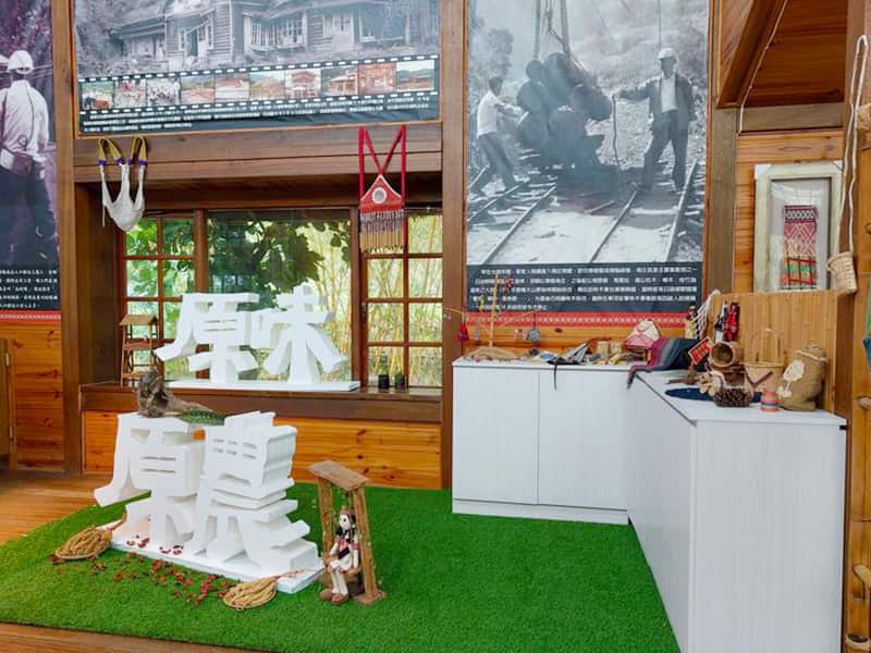
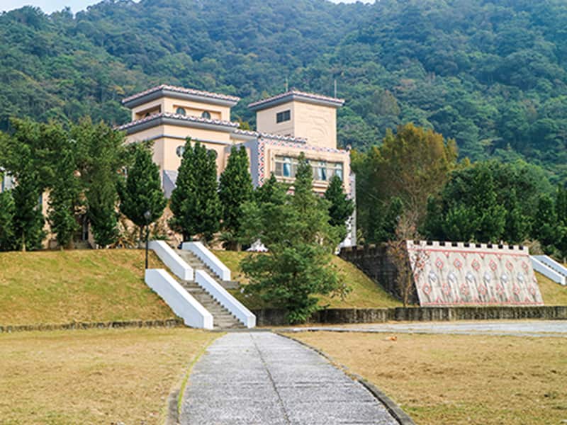
Located next to Xiangtian Lake, the museum features both interactive and static exhibitions, along with video presentations, providing visitors with an opportunity to explore the traditional clothing, daily utensils, and more of the Saisiyat people. Additionally, Saisiyat individuals themselves will personally guide and share their history and stories.
Address:No. 25, Xiangtianhu, Nanzhuang Township, Miaoli County
paSta'ay
Known as a significant traditional ritual activity of the Saisiyat people, paSta'ay takes place once every year and is celebrated every tenth year with a grand festival. This event typically takes place near the Museum of Saisiyat Folklore around mid-October of the lunar calendar.
Address:The ritual takes place right next to the Museum of Saisiyat Folklore.
Xiangtian Lake
Xiangtian Lake is situated in relatively elevated terrain. When winter transitions to spring, the lake surface is often enveloped in cloud-like mist and haze, transforming this place into an earthly paradise. Located in a basin surrounded by verdant mountains and peaks, and adorned with Japanese cedar (Cryptomeria japonica) forest, Xiangtian Lake is an excellent summer retreat.
Address:No. 26, Donghe, Nanzhuang Township, Miaoli County
Walk into P'anoh Tribe
The Luchang Tribe (known as “P'anoh” in Atayal), which literally means “deer farm,” is a remote Atayal tribe named after its abundant population of deer and preserving the traditional lifestyle of the Atayal people. Following a seismic event, all its residents relocated to Donghe Village for safety reasons, transforming Luchang into a deserted area. Currently, you may occasionally come across some old buildings here, but the school constructed during the Japanese colonial period has already been demolished.
Highlights of Tribal Tourism
- Featuring a tranquil environment that is ideal for camping, stargazing, and enjoying spring cherry blossoms
- Begin your ascent of Jialishan (Jiali Mountain) and experience the dreamlike scenery of Japanese cedar forest and the Holy Ridge of Xueshan (Xue Mountain).
- Walk into the movie scene of “Warriors of the Rainbow: Seediq Bale” to give a glimpse on the grandeur of the Fairy Valley
Features of P'anoh Tribe
Mt.Jiali Trail
This trail is 5.8 km long and has preserved the old forestry rail tracks along the way. There is also a Class 1 triangulation station on the summit of the mountain, allowing hikers to gaze into the distance at the Holy Ridge of Xueshan and Luchangdashan (Luchang Mountain).
Address:Nanzhuang Township, Miaoli County
Fairy Valley
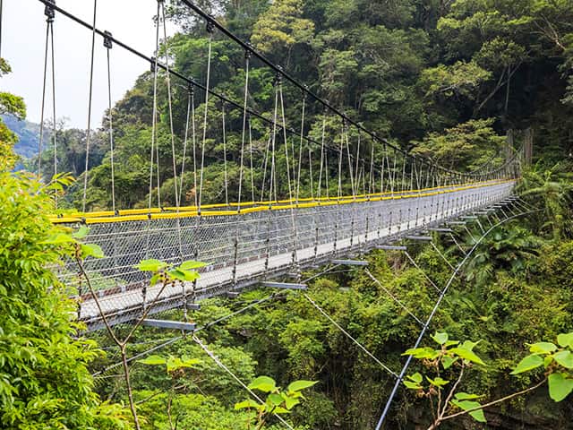
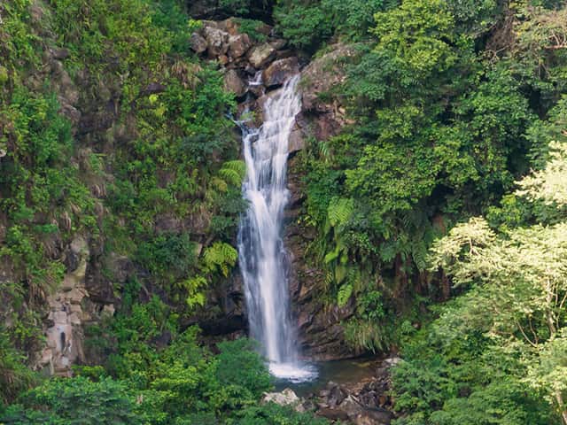
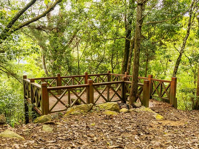
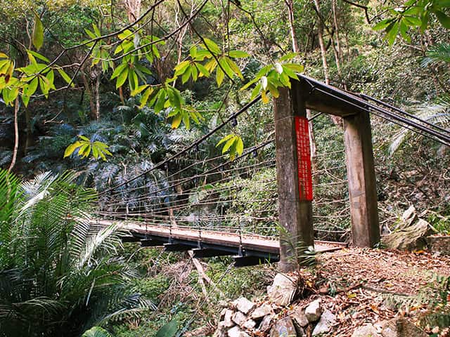
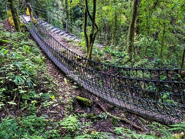
Featuring a splendid and picturesque landscape, Xiangtian Lake offers walkways, pavilions, and a suspension bridge for travelers to stroll and enjoy the scenery. When standing on the suspension bridge, travelers can overlook the renowned “Twin Fairy Waterfalls.”
Address:No. 27, Luchang, Nanzhuang Township, Miaoli County
Japanese Policemen Monument
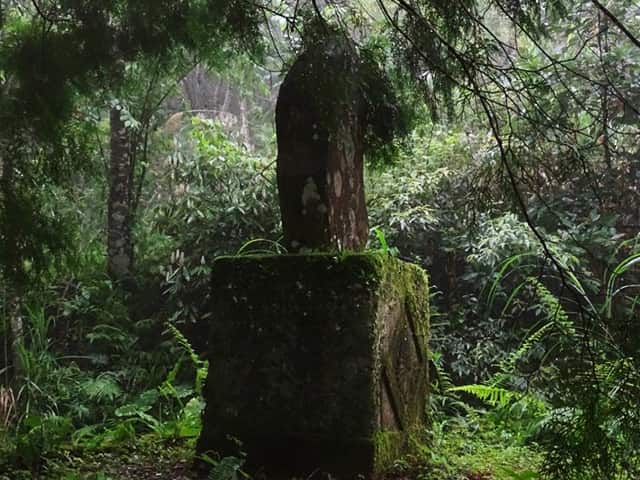
The monument is located on the rear hillside of the former site of Luchang Elementary School. In the past, the Japanese authorities faced fierce resistance from the tribal people while exploiting the mountainous forest resources, resulting in significant casualties among Japanese police. This monument was then erected in the Japan Showa 10th year (1935) to commemorate those who lost their lives in Luchang.
Address:Nanzhuang Township, Miaoli County
Learn more about the tribal villages in Nanzhuang area
Tribal villages in Guguan
Coming to this nationwide renowned hot springs destination
Explore the culture intertwined with the Atayal tribe and the history of forestry
About tribes in Guguan area
Located in Heping District of Taichung City, Guguan boasts picturesque scenery and is a renowned hot springs recreation area that attracts numerous travelers each year. The Atayal tribal villages located on both sides of the Dajia River feature cultural characteristics and abundant ecological resources. When coming here, travelers can experience the diverse charm of Guguan through tribal tourism!
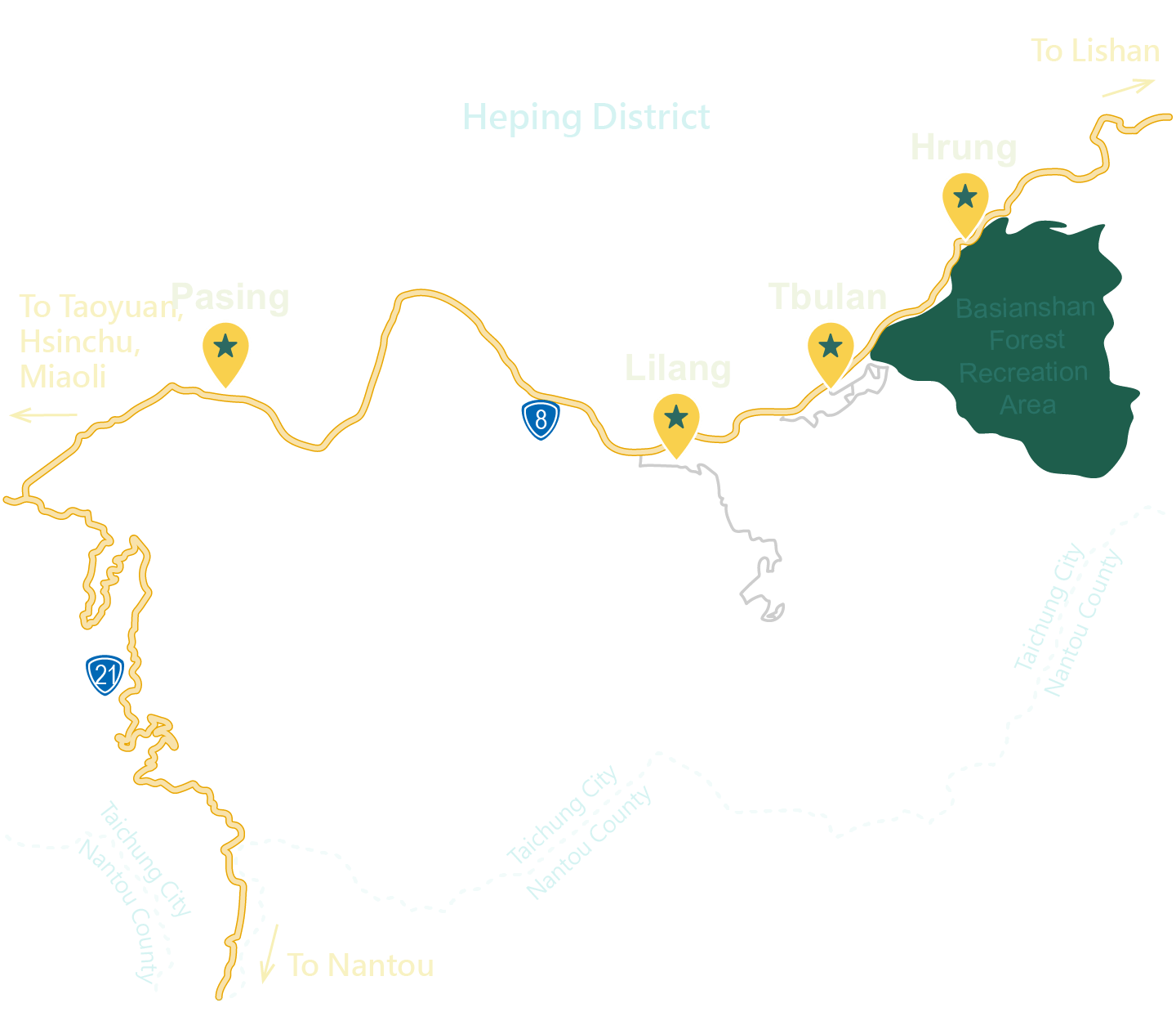
Walk into Lilang Tribe
The word “Lileng” derives from the Atayal word “Lilang,” which means “people from the mountains.” As the Lileng Tribe (also known as Lilang Tribe) was developed relatively late, it still retains rich natural amenities, such as high mountain forests, waterfalls, streams, and forest roads, making it an ideal destination for ecotourism.
Highlights of Tribal Tourism
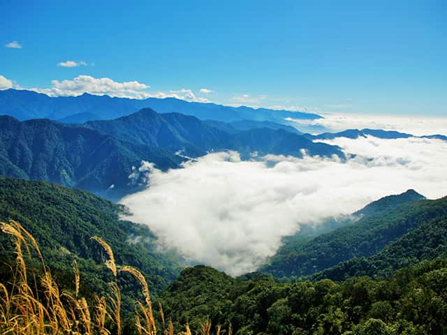
- A treasure spot for hikers and photographers: the ever-changing Lileng Sea of Clouds
- The playing lessons and DIY experience for the Atayal musical instrument “mouth harp”.
- Local-led ecological tour for observing natural ecology and learning about flora and fauna.
- Visit the nearby Guguan and Lileng hot springs for a relaxing bathing experience.
- Immerse yourself in a forest bath, surrounded by abundant high mountain forests of pine (Pinus), cypress (Chamaecyparis), and Taiwan hemlock (Tsuga chinensis).
Features of Lilang Tribe
Qichongtian Waterfalls
The Qichongtian Waterfalls, known as the Seven Heavens Waterfalls, are formed by seven layers of large and small waterfalls and still preserve their primitive environmental ecology. The latter part, from the fourth to the seventh tier of waterfalls, extends deep into the valley with a steep and challenging terrain, making it difficult to navigate without local guides.
Address:The entrance is located nearby the Lileng Bridge
Four Mighty Warriors: A trail of Taiwan white pines
The trail “Four Mighty Warriors” is named after four precious Taiwan white pines (Pinus morrisonicola). According to tribal legend, these four trees are the embodiment of the tribe's guardians. With several centuries of age, they can be considered giant trees of a divine caliber.
Address:The entrance is nearby the Taichung Goya Spring Resort
Walk into Songhe Tribe
Songhe was previously known as “Qalang Tbulan,” a name that referred to a suitable place for human habitation with fertile soil, abundant water sources, beautiful mountains, and clean water. However, it was later renamed “Song-He” due to its abundant production of pine trees (known as “Song” in Chinese) and the attraction of many little egrets (Egretta garzetta), which are also wading birds like cranes (“He” in Chinese). Due to its proximity to the Basianshan Forest Farm, the Songhe Tribe still retains the staff dormitories built by the Forestry and Nature Conservation Agency during Japanese colonial rule.
Highlights of Tribal Tourism
- The streets that have preserved Japanese-style architecture have witnessed the development history of the forestry industry during Japanese colonial rule.
- The “Tai Hao Wan Atayal Hunter's Camp” offers travelers the opportunity to immerse themselves in the life of the Atayal people.
- Savor indigenous cuisines, such as salted pork with Litsea cubeba (known as “Maqaw” in Atayal), chicken soup with Litsea cubeba, pan-seared trout, and stir-fried mountain vegetables.
- Half-day hiking on the ecological trail: walk into the natural environment with ease
Features of Songhe Tribe
The cypress wood house on Linchang Lane
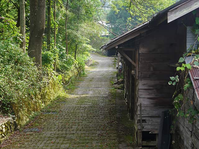
The century-old cypress wood plank house that was used as the Forestry and Nature Conservation Agency staff dormitories during Japanese colonial rule exudes a strong sense of Japanese nostalgia, bearing witness to the glorious history of Basianshan Forest Farm during that era.
Address:Linchang Ln., Sec. 1, Dongguan Rd., Heping Dist., Taichung City
Defulan Trail
The 3-km-long Defulan Trail (known as “Qalang Tbulan” in Atayal) features lush vegetation, abundant ecology, and scenic views of the Dajia River Valley along the way. The trail has a moderate slope and is suitable for a half-day excursion.
Address:Heping Dist., Taichung City
The green corridor of Taiwan white pines
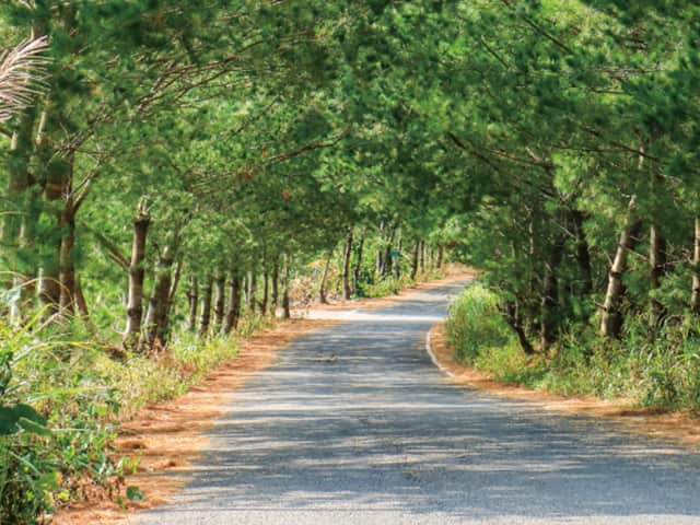
Strolling along the 400-meter-long green corridor, visitors can look up to see lush pine needles, accompanied by a gentle breeze that brings joy to the mind and body.
Address:Turn into the avenue of Taiwan white pines after seeing Auntie Aijiao's shop
Tribal villages in Lishan
Walk into mountain-surrounded Atayal tribal villages
for a highland vacation, trail hiking, and cultural exploration journey.
About the tribes in Lishan area
Lishan, known for its pear production, is situated in Heping District, Taichung City, adjacent to Shei-Pa National Park and Taroko National Park. The region is nationally renowned for its peaches, apples, and high-altitude vegetables. Its abundant agricultural landscapes and beautiful mountain scenery also make it a popular destination for summer getaways, autumn maple leaf viewing, and winter snow appreciation.
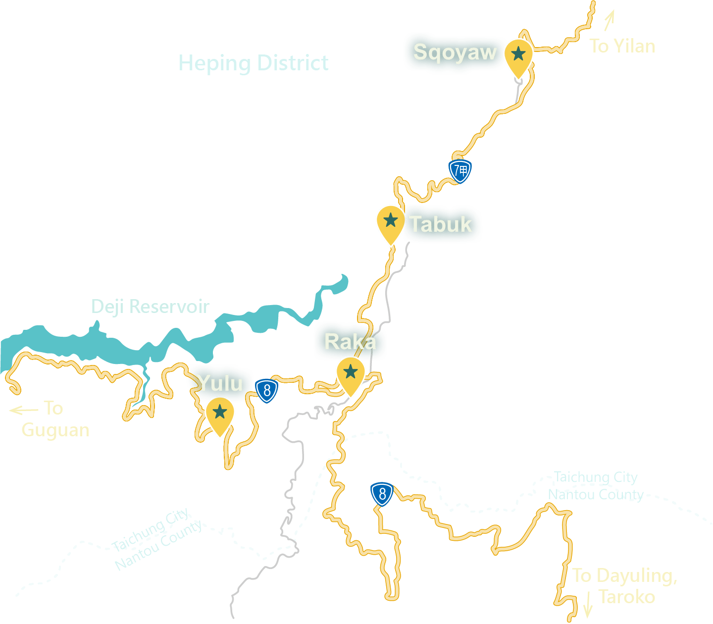
Walk into Songmao Tribe
Songmao Tribe, also known as “Tabuk” in the Atayal languge, is located Lishan, Taichung, at an altitude of 1600 meters. The tribe derives its name from the dense pine trees that surround it. Its development began during Japanese colonial rule in Sliant, a location situated at the intersection of Huanshan Road and Zhongxing Road in Pingdeng Village today. It is therefore also referred to as “the tribe of the huge rock” or “the tribe of the rock.”
Highlights of Tribal Tourism
- Experience the Atayal weaving craftsmanship at Iwan’s Workshop that ,where you can learn the traditional art of Atayal weaving techniques.
- Follow the Atayal people into the Soulu (“deer-searching”) Trail to discover the hidden wonders of the basalt lake
- The Formosan salmon (Oncorhynchus masou formosanus) within the Leshan River exemplify the positive ecological outcomes of human conservation efforts.
- Alongside the highway, you can enjoy a distant view of “Jiayangshan” (Jiayang Mountain, also known as “Kituxang”), which is known as the tribe's holy mountain.
Features of Songmao Tribe
Soulu Trail
Situated at the entrance of Dajianshan and Jianshan (Jian Mountain), both of which are listed among the 100 Peaks of Taiwan, this area was once a hunting ground of the Songmao Tribe. Today, it still preserves beautiful pristine forests and natural ecology. The trail passes along the Dajia River, where visitors can witness the unique shale layer patterns on the riverbed, forming a spectacular scenery resembling columnar basalt walls, as seen from the Renshou Bridge.
- Address:Heping Dist., Taichung City
Qingquan Bridge
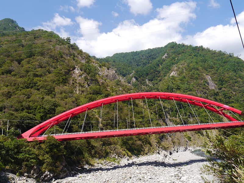
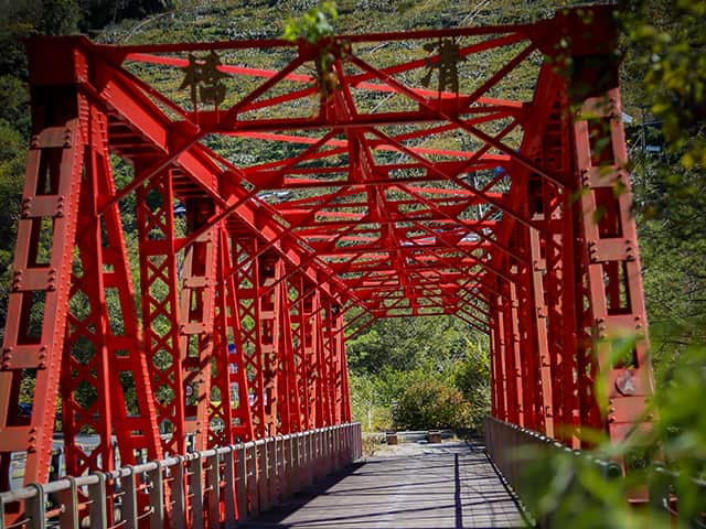
Located beside Provincial Highway 7A on the Central Cross-Island Highway, this red steel bridge was constructed using steel materials originally intended for building a railway bridge in Vietnam. These steels were gifted to Taiwan by France as it withdrew from Vietnam in 1954. The bridge even features the Eiffel Tower logo, making it a significant characteristic of the Qingquan Bridge and an unmissable historical landmark in this area.
- Address:Provincial Highway 7A on the Central Cross-Island Highway, heading towards Yilan.
Walk into Lishan Tribe
Lishan (known as “Raka” in the Atayal language) Tribe is renowned as the farthest tribe in Taichung, situated in the high mountains at an altitude above 1,800 m. The tribe gained recognition for its cultivation of high-quality temperate fruits, including pears and apples. Lishan is strategically located at the crossroads of the Central Cross-Island Highway and the Yilan Branch Line, serving as the central hub for transportation and economic development within the Lishan Scenic Area.
Highlights of Tribal Tourism
- Hiking along ancient trails, discover the hunting traces of Atayal hunters.
- The guided tours on Atayal heritage and way of life help visitors to gain insights into the development history of the Central Cross-Island Highway.
- Enjoy expansive scenic views and overlook the tribal villages nestled amidst the mountain ranges.
- Must-buy souvenirs - seasonal highland vegetables, fruits, and local mountain specialties.
Features of Lishan Tribe
Lishan Guest House
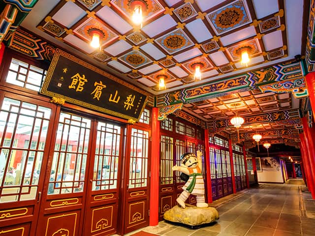
Lishan Guest House served as the residence and reception place for former President Chiang Kai-shek during his visits to Lishan. Apart from its historical significance, the guesthouse also features an ecological trail at the back, connecting to the Siliq Trail and Fushoushan Farm. Lush with greenery, it is an excellent spot to admire the Xueshan mountain range.
- Address:No. 91, Zhongzheng Rd., Heping Dist., Taichung City
1956 Maple Valley
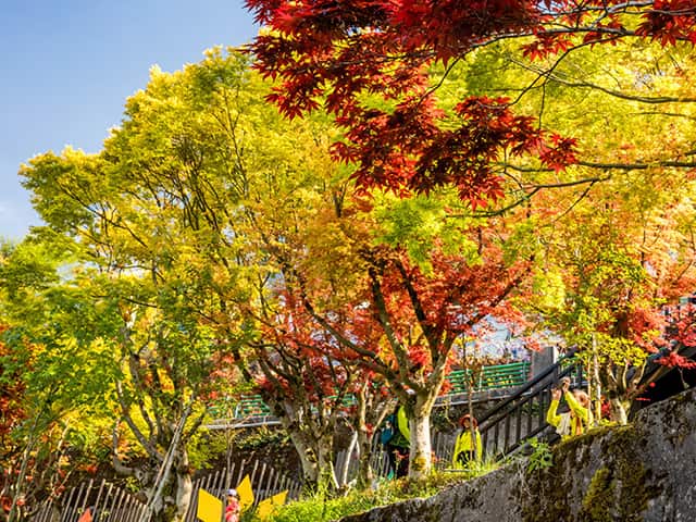
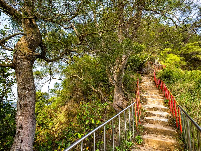
Follow the staircase trail in front of the Lishan Guest House, where you'll find snake bark maples (Acer morrisonense), trident maples (Acer buergerianum), and green maples (Acer oliverianum var. nakaharai). From the observation platform, you can enjoy panoramic views of the Xueshan mountain range, Central Mountain Range, and the landscapes of Huanshan Tribe (known as “Sqoyaw” in Atayal) and Songmao Tribe.
- Address:No. 91, Zhongzheng Rd., Heping Dist., Taichung City
Siliq Trail
In the Atayal language, “Siliq” translates to grey-cheeked fulvetta (Alcippe morrisonia). Situated next to the Lishan Guest House, the Siliq Trail has a main path that spans approximately 600 m, featuring two suspension bridges along the way. The trail reaches its endpoint at the Lokah Warriors Camp, and you have the option to continue along a branch to the Range Landscape Pavilion, where you can enjoy scenic views of the surrounding mountains from a lofty vantage point.
- Address:No. 88, Zhongzheng Rd., Heping Dist., Taichung City
