Updated:2026-02-12
Popularity
963Hengshan Sunrise-Watching Trail (level 1)


Information
Situation:
Open
Start:
Yongxing Community
End:
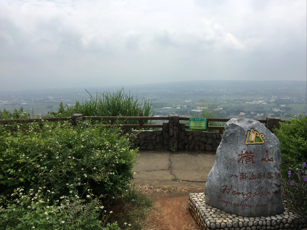
Hengshan
Location:
Nantou City
Trail Level:
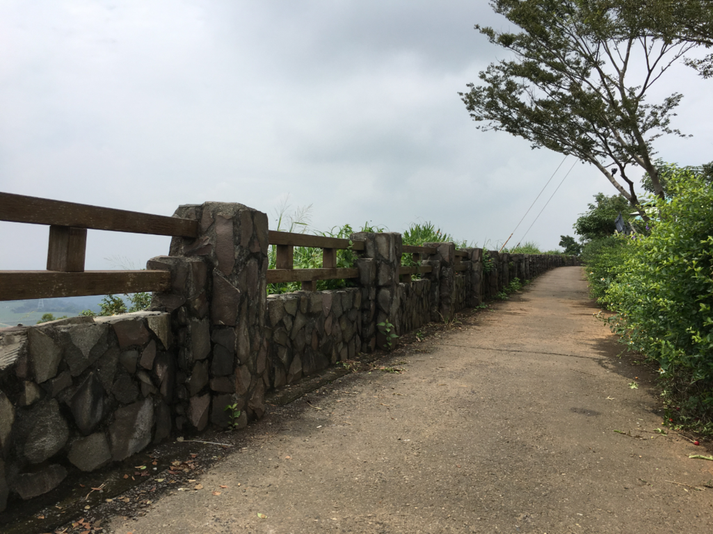
Level 1Trail length:
0.88 km
Walking time:
22 minute
Trail Difficulty:
EasyIntroduction
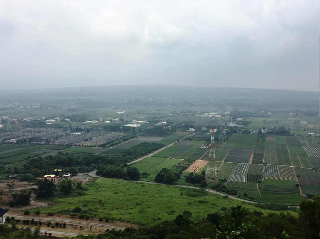
The terrain of Bagua Mountain is higher in the south and lower in the north. The highest point of the Bagua Mountains (Bagua Tableland) is “Hengshan” with the altitude of 442.6 meters.
From Hengshan Region, visitors can see the terrace landscape alleviated by Zhuoshui River. Facing south, visitors can also see the 4 terraces of Puzhong, Songbokeng, Chishui and Dazhuang from Hengshan Cliff. Given that Hengshan Region is located at a higher altitude and has a panoramic view of the Changhua Plain and the surrounding cliffs and valleys, it is common to observe eagles soaring above the valley, utilising updrafts or their impressive manoeuvrability to capture prey through their amazing dives.
Their magnificence is extremely astonishing. Around spring equinox at March, this is the best location at southern Bagua Mountains to watch gray-faced buzzards. Visitors can easily find them whether they are passing by, hunting, flying or landing. In addition to that, crested spilornis cheela, sparrow hawks, crested goshawks and other resident birds (birds which spend their entire life at Taiwan) can also be observed at Hengshan Region. Therefore, the spring equinox in March is not the only season for watching eagles.